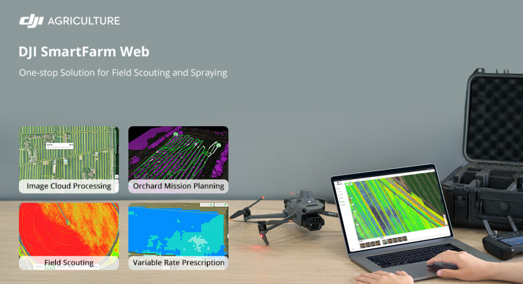
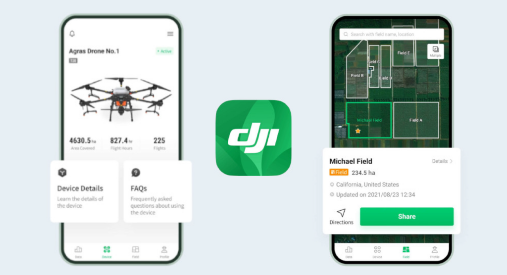
The DJI SmartFarm App provides end-to-end service support for spraying and spreading operations, from data display, device management, field sharing, to tutorials, team collaborations, measurement tools, etc.With the app, you can view data clearly on your Agras drones while controlling and managing your device with superior ease and efficiency.